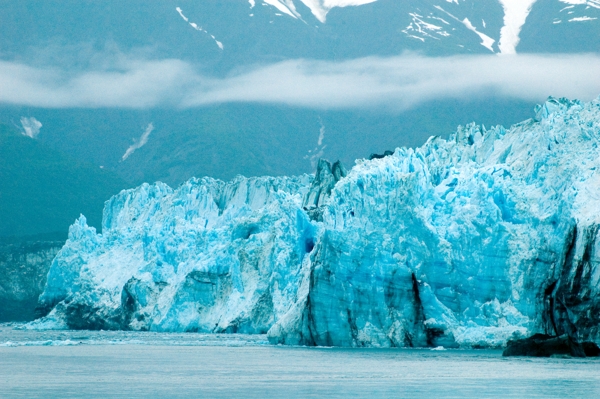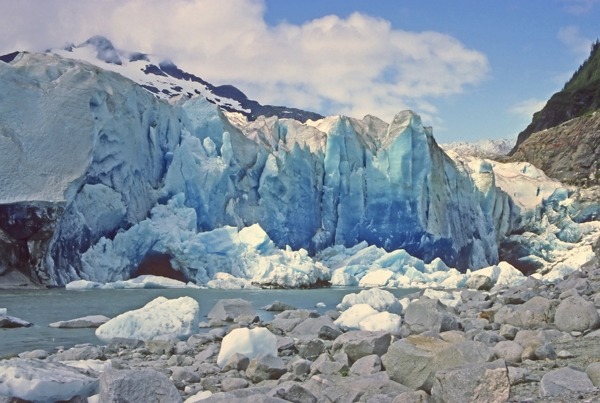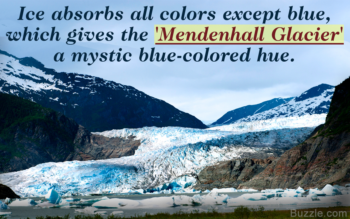
The Mendenhall Glacier is a breathtakingly beautiful place in blue and white, where water runs over rocks under blue ceilings inside a partially hollow glacier. UStravelia presents some interesting facts about the Mendenhall Glacier.
Quick Facts
The glacier is best viewed on overcast days, while it is closed on Federal holidays and the entire month of April.
The glacier is constantly moving, flowing downhill, like a river, shaping the landscape as it moves.
The native Tlingit Indians named the glacier Sitaantaagu: The Glacier behind the Town or Aak’wtaaksit: The Glacier behind the Little Lake. In 1888, the glacier was named Auke Glacier by naturalist John Muir. Finally, in 1891, it was named Mendenhall Glacier in honor of the noted American scientist Thomas Corwin Mendenhall. It extends from its source Juneau Icefield to Mendenhall Lake and river.
The Mendenhall Lake was formed due to the melting of the glacier. It has a very unique ecosystem, and the area is extremely popular for fishing. There is growing concern among scientists about the rate at which this glacier is melting. Due to climatic conditions and human activities, the ice is melting at a faster pace, threatening the ecological system and threatening the freshwater source of this area. For the people in this region, the glacier represents their main freshwater source, and the rapid retreat of the glacier has endangered their main source of water. Here are some more facts about this interesting natural phenomenon.
Facts About the Mendenhall Glacier
◼ The glacier is about 12 miles (19 km) long, located in the Mendenhall Valley. It is 12 miles (19 km) from downtown Juneau in the southeast of the U.S. state of Alaska.
◼ The glacier and its surroundings are protected as the 5,815 acre Mendenhall Glacier Recreational Area, a federally designated unit of the Tongass National Forest.
◼ Mendenhall Lake fronts the glacier at the terminus, and the ice extends 150-250 feet under the water. The lake is used for ice skating during the winter as it is covered with thick ice.
◼ It first formed in the Juneau Icefield, which is over 3,000 years old. And it is one of the 38 glaciers flowing down the Juneau Icefield.
◼ The falling snow created pressure and made the ice below compact, the process continued until the weight of the glacier caused it to flow like a river down the mountain. Hence, it’s even called one of the ‘Rivers of Ice’.
◼ On its way downhill, it created valleys and canyons, subsequently, trees and rocks from the area got deposited in a new area.
◼ The deposited glacial matter is known as ‘Moraine’, it is estimated to be ½-inch every year between Juneau and Douglas Island. It is predicted that the island will be connected to the mainland in a few decades due to this process.
◼ It is about 1.5 miles (2.4km) wide and more than 100 ft ( 30 meters) high at its terminus.
◼ It is the remnant of the ‘Little Ice Age’ over 3000 years ago. The glacier melting process is known as ‘calving’ which causes large pieces of ice to break off from the glacier, forming icebergs on the Mendenhall Lake.
◼ It’s a receding glacier (100 to 150 ft [30 to 45 meters] every year). According to the Junean Icefield Research Program, it has receded 12 miles since 1958.
◼ It is the only glacier that is accessible around the year by highway.
◼ There are remnants of a long buried ancient forest, it is said that it’s more than 1,000 years old and is now being exposed due to the melting of the glacier.
◼ It looks amazingly beautiful due to its blue-colored hue, the ice absorbs all colors of the spectrum except blue, which it reflects back.
◼ The natural habitats of various fauna and the landscape constantly keep changing due to the continuous motion of the glacier. This area is highly recommended for fishing.
Interesting Facts About the Ice Caves
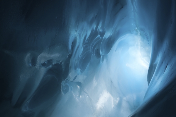
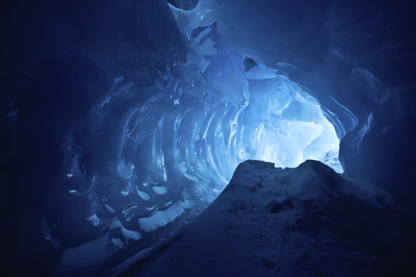
◼ The real beauty of the glacier lies beneath it in the form of ice caves. One of the waterfalls that is adjacent to Mt. McGinnis in Juneau, Alaska, flows and slips under the edge of the glacier, where, over thousands of years, it has carved massive caves through ice.
◼ They are a brilliant turquoise-colored caves, giving it a very surreal existence. Due to the constant melting of the glacier, the caves have shrunk to one-third their original size, changing their color from deep turquoise to a lighter shade and in some cases to a dirtier blue.
◼ A cavernous tunnel is actually running through the middle of the iceberg, and is located near the western terminus of the Mendenhall Glacier.
◼ It is a major tourist attraction, accessible only to those who kayak and then ice climb over the glacier to reach it.
◼ Recently, the Forest Service Department has issued warnings not access the caves as they are dangerous due to the constant melting.
How to Visit the Mendenhall Glacier
◼ The glacier is accessible throughout the year by road. It located about 5 miles from the Juneau International Airport. Visitors can take a guided tour by the USDA Forest Service Mendenhall Glacier Visitor Center, which is located 12 miles from downtown Juneau in the Mendenhall Valley.
◼ Tourists can reach the visitor center by rental car, taxi, or tour bus.
◼ The experienced staff at the visitor center provides detailed information on this glacial phenomenon, its impact on the ecosystem, and the need to protect its wildlife.
◼ The visitor center operates on a daily basis from 8 am to 7.30 pm, May to September, and during winter hours Friday-Sunday 10 am to 4 pm, October to April. The entry fee is USD 3 for all visitors 16 years and above.
Visiting this natural phenomena will be an experience of a lifetime. But it also faces real danger from global warming, and soon, it may become one of the extinct wonders of the world, the need to preserve such surreal natural occurrences is the need of the hour.
